Above average temperatures combined with below average rainfall across much of western and central Europe during June and the first half of July have placed increasing pressure on rivers, ecosystems and energy infrastructure. Persistent high pressure brought prolonged sunshine, suppressed rainfall and enhanced evaporation, causing river levels to fall and water temperatures to increase.
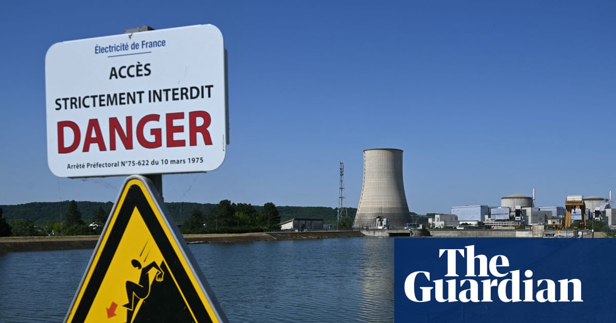
These unusually warm rivers are affecting electricity generation in France, as several nuclear power stations rely on river water for cooling. Under French environmental regulations, operators must limit the amount of heat discharged back into rivers, meaning electricity output may need to be reduced when water temperatures become too high.
Earlier this month, EDF temporarily shut down a reactor at the Golfech nuclear power station after the Garonne River approached its environmental discharge threshold, while production restrictions are expected at the Nogent nuclear power station from 14 July if the river reaches its forecast temperature. The prolonged heat has also increased electricity demand as air-conditioning use has risen across much of Europe.
The same persistent weather pattern has produced dangerous wildfires across the Iberian peninsula. Spain experienced several significant wildfires last week as prolonged heat, exceptionally dry vegetation and very limited rainfall combined with low relative humidity and periods of gusty winds to create favourable conditions for fire to spread rapidly. One of the largest fires occurred in the Almería province, prompting evacuations and extensive firefighting operations.
Though temperatures are forecast to ease slightly in some areas, weather models continue to indicate generally warmer-than-average conditions across much of southern Europe during the coming week. With little widespread rainfall expected, vegetation is likely to remain dry, meaning wildfire risk will remain elevated across much of Europe, and rivers across western Europe will continue to experience unusually warm conditions.
In Asia, Typhoon Bavi has weakened to a severe tropical storm after making two landfalls along China’s eastern coast. Despite this, it continues to pose a significant flooding threat as it moves inland. Before reaching China, Bavi rapidly intensified over exceptionally warm waters in the western Pacific, attaining Category 5 strength and becoming one of the strongest tropical cyclones of the 2026 north-west Pacific season. More than 2 million residents were evacuated before the storm reached China, while hundreds of flights, rail services and ferry operations were suspended.
Earlier in its track, Bavi brushed the northern tip of Taiwan and passed through Japan’s Sakishima Islands, bringing damaging winds, torrential rainfall and widespread transport disruption. Though the wind strength has eased since landfall, the storm contains a vast reservoir of tropical moisture, with its slow inland progression expected to prolong heavy rainfall across eastern China during the coming week, increasing the risk of flash flooding, river flooding and landslides.