The first confirmed deployment of a PLA drone within Taiwan’s claimed airspace is the latest example of Beijing’s “salami-slicing” strategy towards the self-ruled island, analysts say.
One observer noted it was also meant to test, wear down and put pressure on Taiwan’s military.
Taiwan’s defence ministry said on Saturday that a People’s Liberation Army (PLA) surveillance drone had entered its self-defined airspace – meaning the space above the 12-nautical-mile (22km) territorial sea baseline claimed by Taiwan – above Pratas Island that day.
Advertisement
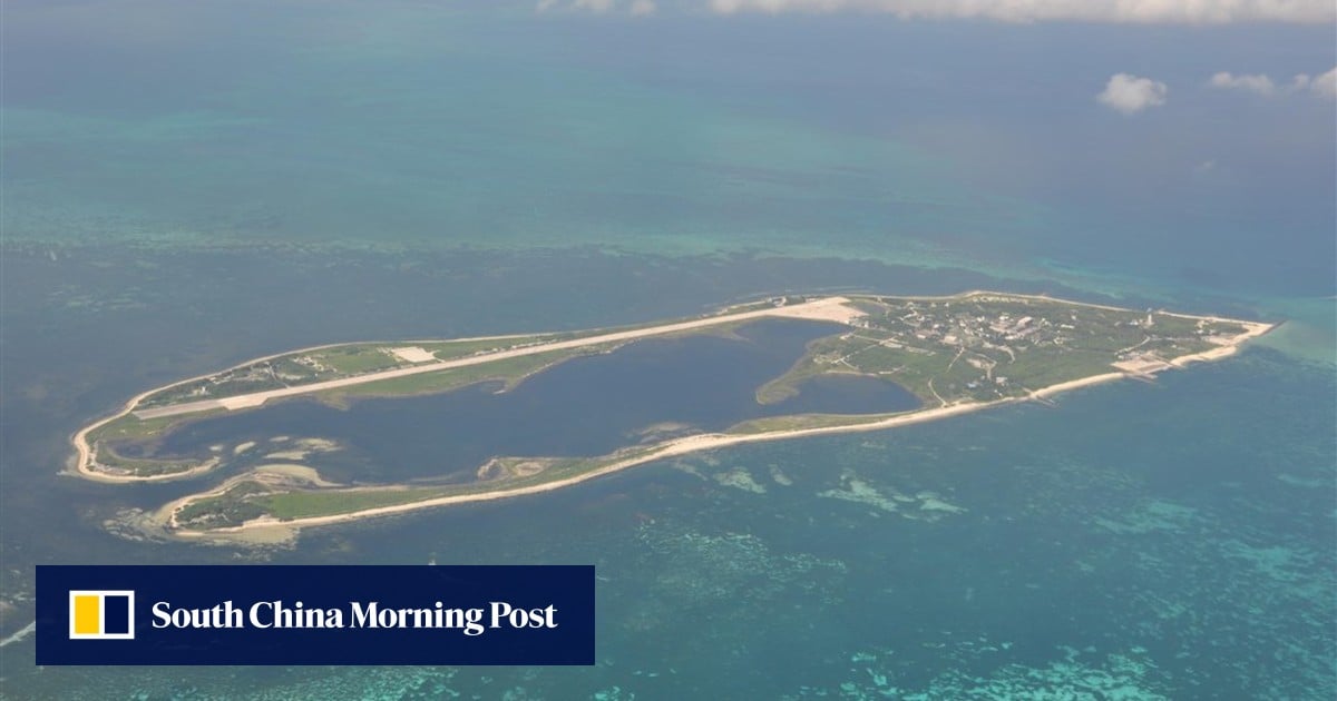
Pratas Island, known as Dongsha Island in Chinese, lies around 450km (280 miles) southwest of Kaohsiung in southern Taiwan and 260km from Shantou in Guangdong province on the mainland.
Pratas is the largest natural island in the northern South China Sea. It sits west of the Bashi Channel between Taiwan and the Philippines, which links the South China Sea to the Pacific Ocean, making it a critical maritime choke point.
Advertisement
The PLA Southern Theatre Command confirmed on Saturday that it had arranged the military drone to conduct routine training near Pratas Island, describing the operation as fully legitimate and lawful.