But tracking emissions from space has its challenges.
Background uncertainty – including influence of clouds, aerosols and land topography – and wind speed are among factors that can impact accuracy, according to Nasa.
“Existing and even near-future satellite measurements cannot meet the frequent monitoring requirements for anthropogenic emissions,” Yang Dongxu, a researcher at the Chinese Academy of Sciences’ Institute of Atmospheric Physics, said in a press release issued on Sunday.
Driven by a desire to fine-tune carbon detection, Yang led a research team in seeking a more accurate system to measure localised emissions caused by human factors.
The team’s paper on their Low-cost UAV Coordinated Carbon Observation Network (LUCCN) was published last week in peer-reviewed journal Advances in Atmospheric Sciences.
01:08
China completes its first greenhouse gas observation network
China completes its first greenhouse gas observation network
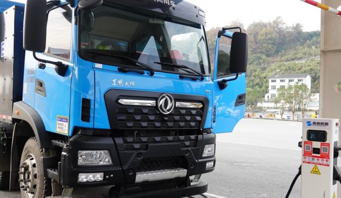
Using drones to monitor greenhouse gases is not new, and studies in recent years have elaborated on such missions. But the LUCCN system improves upon the method, by combining ground monitoring stations and an “intelligent multi-aircraft flight system” using UAVs, the paper said.
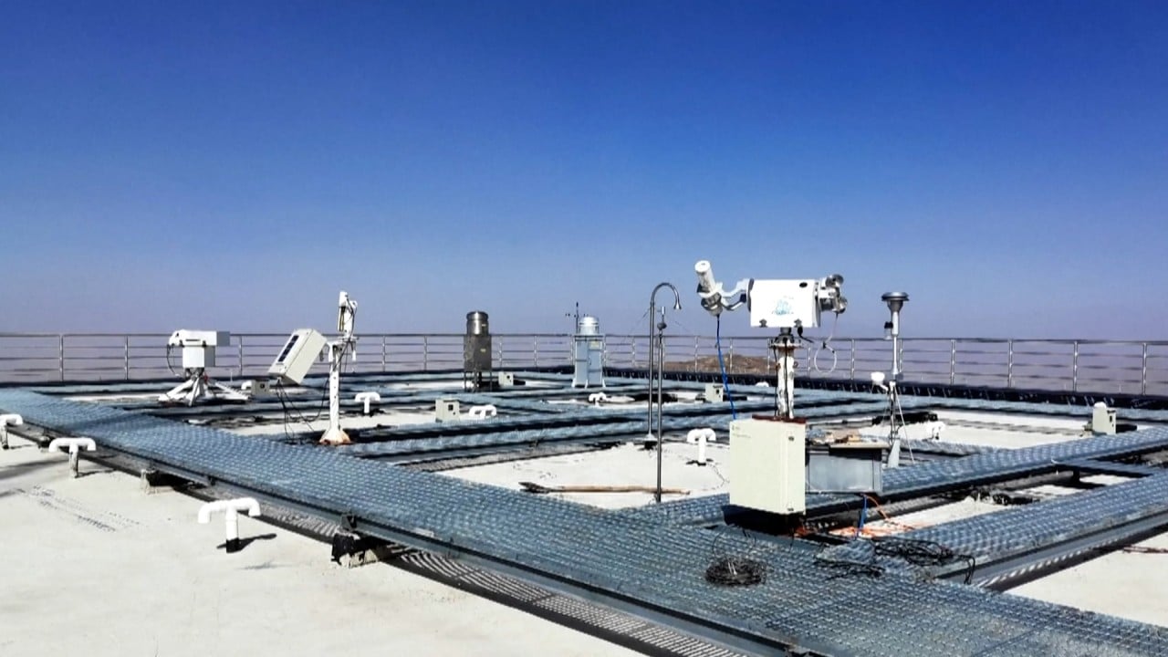
Its ground-based stations, powered by solar panels, include a sensor placed within a weatherproof enclosure and fitted with a mounted weather station to record changes in the outside environment.
The quadcopter drones – with their four rotors giving them the capacity to hover in place along with more precise manoeuvrability – are fitted with sensors modified to be lighter for better flight accuracy.
Fixed wing aerial drones, by contrast, have to be in constant motion.
The system will “make flight decisions autonomously” after the first exploratory flight mission, based on information it collects, the paper said.
The team also emphasised the need to develop better monitoring systems for anthropogenic carbon emissions, warning that “insufficient understanding of carbon dioxide emissions in power generation, cities and industry has resulted in significant uncertainties in global carbon budgets.”
The first prototype of the LUCCN, which included five ground stations and four drones, was first tested over a three-day period in May on a power plant in Shenzhen, in China’s southern Guangdong province.
The ground stations only picked up one signal, while the drones were able to make measurements from the plume released by the plant. The drones had the advantage in data collection due to the “relatively high altitudes of the point emission sources”, the paper said.
Chinese scientists create low-carbon building materials inspired by worms
Chinese scientists create low-carbon building materials inspired by worms
But emissions data obtained from the LUCCN were a bit higher than those from an open source data set, the paper said. The team already has plans in place to improve the network and eliminate the difference, it added.
“The UAV sampling strategy and emission estimation methods require further exploration”, Yang said in the CAS press release.
However, the method improves upon solely drone or solely satellite monitoring by including multiple aircraft and combining it with ground stations.
“Satellite remote sensing combined with near-ground measurement is required in the future”, the paper said, adding that the LUCCN’s “detailed measurements of local carbon emissions and even ecosystem carbon cycle processes” would be able to boost China’s emissions monitoring.
The LUCCN test joined the ground system of China’s Global Carbon Dioxide Monitoring Scientific Experimental Satellite (TanSat) during the test in May, and will be used in conjunction with the space monitoring.
Launched in 2016, TanSat is China’s first carbon dioxide monitoring satellite. Yang was also part of a research team that successfully used the satellite to track human-caused carbon emissions in a study released last year.