The intelligent drilling is providing new technological support for the development of oilfields in northwestern China.
04:12
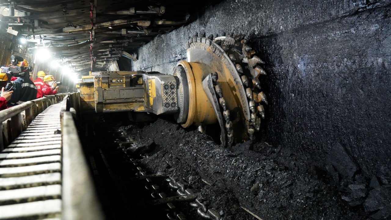
How Huawei’s use of 5G and AI is transforming China’s coal mining industry
How Huawei’s use of 5G and AI is transforming China’s coal mining industry
The Chinese Academy of Sciences (CAS) reported on production tests conducted in early August. “Tarim’s western basin well TP259-2H revealed daily outputs of 13.5 tonnes of oil and 42,000 cubic metres of natural gas, roughly five times the output of neighbouring wells,” the report said.
The project, led by Zhu Rixiang and Di Qingyun from CAS, was carried out in collaboration with the Northwestern Oilfield Exploration and Development Research Institute and Sinopec Zhongyuan Petroleum Engineering Ltd.

Tarim Basin’s Cretaceous-era oil and gas reservoirs are more than 4,000 metres (13,000 feet) deep and have a complex, uneven distribution. They separate in a layer cake structure, where rock layers are only 2-5 metres thick but fluctuate in depth for more than 10 metres.
Advertisement
Traditional directional drilling techniques have been limited in extracting these resources.
The team developed a three-dimensional geological model with metre-level resolution, encompassing “structure, rock properties and composition” using intelligent algorithms. This model allowed them to preset drilling targets, design horizontal well paths and predict possible geological structures and oil and gas encounters.
The past, present and future of oil in China’s Xinjiang
The past, present and future of oil in China’s Xinjiang
The intelligent drilling system, guided by 3D target navigation technology as its “brain” and using various instruments as its “eyes” and “limbs”, were coordinated to complete the task accurately.
An imager based on electromagnetic waves was equipped on the drill as its eyes. It sent electromagnetic waves into the strata and received reflected signals to explore the electrical characteristics and boundaries of the rocks.
In a mining operation in July, the instrument worked for 229 continuous hours at a depth of up to 4,538 metres, accurately identifying low-resistance formations such as sand bodies and providing vital decision-making information to the system.

08:54
Is China’s technology falling behind in the race for its own ChatGPT?
Is China’s technology falling behind in the race for its own ChatGPT?
Three-dimensional precise navigation technology uses the pre-built model of the underground oil and gas layer structure to guide the drill to the best extraction points.
Advertisement
Flexible rotation guidance systems and geological navigation systems then guide the drill to the designated targets with flexible mechanical structures.
Huge hidden ocean under Xinjiang’s Tarim basin larger than all Great Lakes combined
Huge hidden ocean under Xinjiang’s Tarim basin larger than all Great Lakes combined
“The project, initiated in 2017, has now formed a complete solution with its own intellectual property rights. It has achieved the goal of intelligent deep drilling based on the system,” the CAS report stated.
Advertisement
“The system [is the result of the] persistent efforts of hundreds of researchers over more than six years. Many self-developed instruments have completed technical finalisation after hundreds of field tests and iterations, transitioning from prototypes to engineering models.”
Advertisement